The waterfall purist may turn up his/her nose at this one since it isn't a
natural formation. However, you will be missing out on a beautiful area.
By the numbers the G Rating was a 3 because it's a short "waterfall" but I
gave it some credit for it's setting and width. The WOW Factor was a low
2.
Also nearby is both the popular Creeper Trail and the
Appalachian Trail.
Outdoor adventure does abound in the area. Between Whitetop and Damascus,
Virginia, the Creeper Trail follows several cascading mountain streams that can
be quite photogenic at times. Whitetop Laurel Falls is accessed via the
Creeper Trail.
From Abingdon, VA, take US-58 East until you reach Damascus, VA. After
crossing the bridge, take the first road LEFT. Go about a block and you'll
run into the restaurant that sits in the location of the old mill. Parking
is nearby behind the restaurant or you can park in the standard customer parking
lot.
Hike Details
Next to road.
Photo Tips
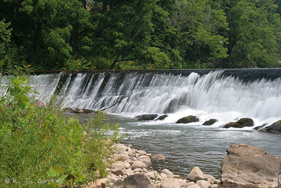
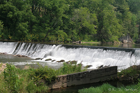
The stream is wide here so normal composition will be landscape. In the
Spring you may be able to find wildflowers to use as foreground. I
couldn't find any great foreground to use.
Use a polarizing filter for sure.
Area is very exposed and bright. On the "bright" side you get fairly even
lighting so contrast isn't terrible.
I know you're gonna go into shock but I don't think a tripod
is a must for this one, although I used a relatively long shutter speed.
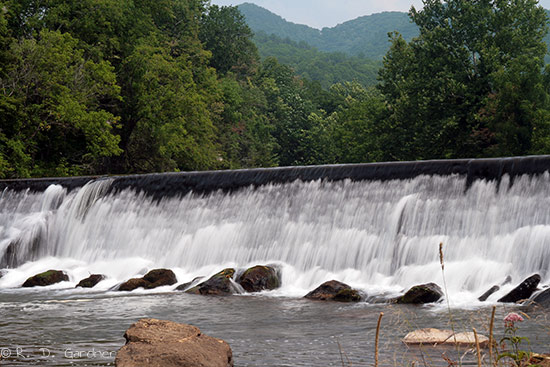
If you shoot directly upstream to capture the mountains in the background
(see bottom picture on the left), be aware that there is a power line which
cannot be avoided. I removed mine from the picture.


New! Comments
Have your say about what you just read! Leave me a comment in the box below.